
Services Provided
- Boundary Surveys
- Mortgage/Instrument Surveys
- Residential Surveys
- Commercial and Industrial Surveys
- ALTA/ACSM Land Title Surveys
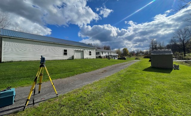
- Topographic Surveys
- Construction Stakeout
- Building Stakeout
- Highway & Route Surveys
- Wetland Location Surveys
- Flood Elevation Certificates
- Ground Control for Aerial Photography
- Deed Interpretation and Abstract Review
- Preparation of legal descriptions; property, easement and conveyance maps
- Expert Witness Testimony
- Horizontal and Vertical Subsidence Surveys
- Monumentation
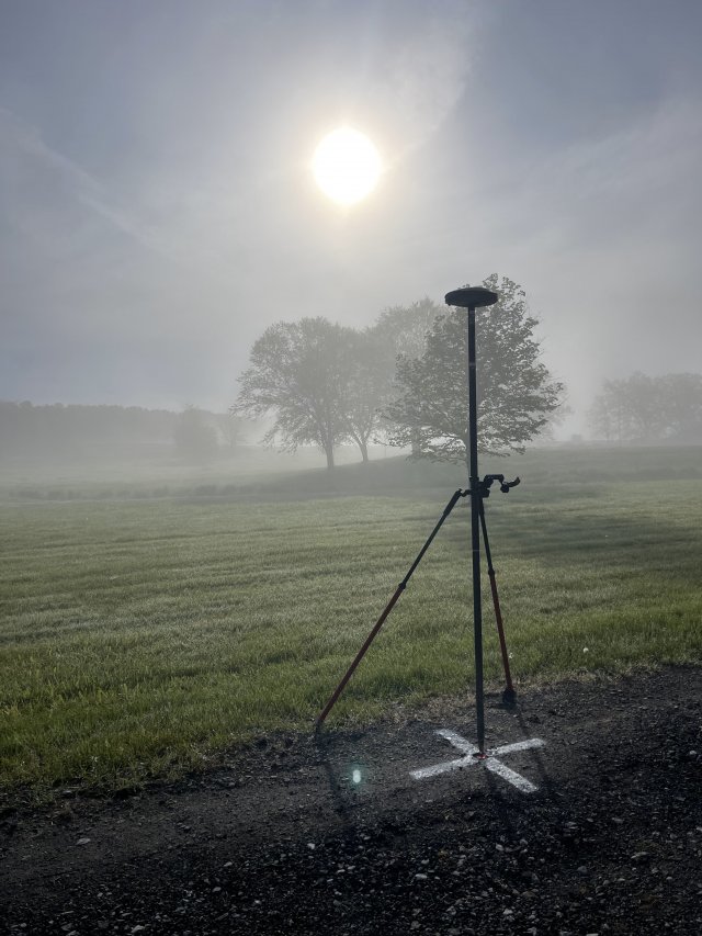
- GPS - Geodetic Control, RTK
- GIS
- ACAD/Autodesk Land Desktop
- Engineering and Architectural Services: partner relationships with local
- Professional Engineers and Registered Architects to provide consulting and
- design services, subdivision, site and building designs.